Thursday 29 September 2022, Amsterdam
The Aerial geophysical service market is segmented into aircraft, technology, end-users, and region. The global Aerial geophysical service market is expected grow at a CAGR of 4.6% from 2022 to 2032. The major drivers for the growth of the aerial geophysical service market are exploration demand driving new geophysical technology development and the development of the software to optimize geophysical field oil and gas exploration. On the other hand, field acquisition issues is the main factor restraining the growth of this market.
How has COVID-19 had a significant negative impact on the Aerial Geophysical Service Market?
In particular for Geophysical Services, whose work is so dependent on international travel and the deployment of exploratory teams to the field for extended periods, the COVID-19 pandemic has had a significant impact on business and our day-to-day life. The worldwide oil & gas business was severely disrupted by the COVID-19 epidemic, the radical surge in crude supplies beginning in early March 2020, and the accompanying collapse in oil price. Oil and gas corporations have swiftly responded by cutting exploration and production budgets. The demand for geophysical equipment and service has decreased to previously unheard-of levels as a result of the expenditure restraints because the majority of the exploration business is supported by discretionary spending.
The Development of the Software to Optimize Geophysical Field Oil and Gas Exploration
The effectiveness of exploratory research, the accuracy of static models, and eventually the effectiveness of operating oil and gas fields are significantly influenced by the planning and outcomes of geophysical oil and gas exploration. Utilizing specialist software during the planning stage of geophysical exploration is one method to enhance its quality. It is determined the need for developing the specified class of software on the basis of the Russian package after analysing the currently available software in the context of geophysical exploration planning. Numerous businesses around the world are investigating the best methods for creating software that will optimise geophysical field oil and gas exploration.
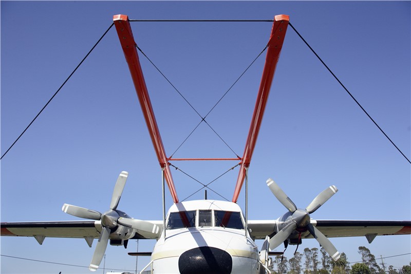
Airborne Platforms Also Offer the Advantage of Rapid Sampling Rates
The speed with which an airborne survey can be completed is demonstrated by a recent gravity survey of Gabon in western Africa. A mixture of mangrove swamp, shallow water, and jungle made up the survey area. In 50 flights spread over 55 days, an area of 150,000 km2, almost the size of Florida, was surveyed using aerial gravity measurements. The survey lines were spaced 6 km apart. Less than a month after the project began, the contracting petroleum company received the finished product—a thorough gravity map and geologic interpretation. In order to conduct the survey in areas with a range of vegetational cover, a similar land-based survey would have needed many more months of work and a big team of surface teams with different instruments and equipment.
Advantages of Geotechnical Geophysics Are Related to Site Accessibility, Portability, Non-Invasiveness, and Operator Safety
Geophysical equipment can frequently be used in places that drill rigs or cone penetration test (CPT) rigs might find difficult to access, such as underneath bridges and power lines, in densely forested regions, at contaminated sites, in urban areas, on steeply dipping slopes, in marshy terrain, on pavement or rock, and in other situations. Additionally, unlike boring or trenching, the majority of surface-based or aerial geophysical equipment are non-invasive and have little to no environmental impact. When working in environmentally sensitive places, on contaminated land, or on private property, these factors can be extremely important. In addition, because there are fewer dangers involved with utility interactions and operations, geophysical surveys are typically regarded as less risky than drilling.
Geophysical Services Market Players Use Drones for Upgraded Aerial Surveys
According to market trends for geophysical service, providers are adopting drones to undertake aerial geophysical surveys. Aerial/airborne geophysical surveying is used to estimate the several important physical or geochemical limits of the earth from the air. To obtain accurate and useful survey results, surveying drones are outfitted with a magnetometer in addition to other sensors like electromagnetic, gamma-ray, spectrometer, magnetic, and gravity.
ASDReports.com contact: S. Koomen
ASDReports.com / ASDMedia BV - Veemkade 356 - 1019HD Amsterdam - The Netherlands
P : +31(0)20 486 1286 - F : +31(0)20 486 0216
 back to News